SnapMaps |

|

|
|
SnapMaps |
|
|
SnapMaps |
|
|
|
SnapMaps |
|
|
|
|
||
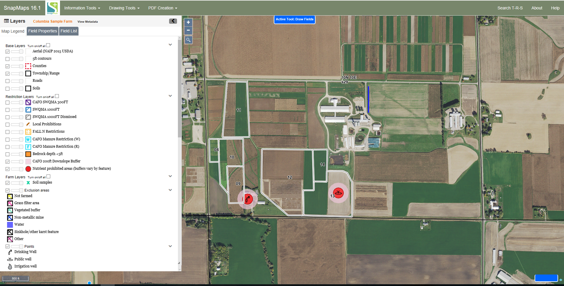
SnapMaps integrates an interactive map with SnapPlus. This allows the program to automatically identify and import the field size, critical and dominant soils, slope length and steepness, and restrictions. The data can be gathered using a shape file or by drawing a polygon along the field borders. Note: SnapMaps requires an internet connection to function.

The SnapMaps website, where you draw or import fields and features to be downloaded into the SnapMaps tab