Change Shapefile Export Projection |

|

|
|
Change Shapefile Export Projection |

|

|
|
|
||
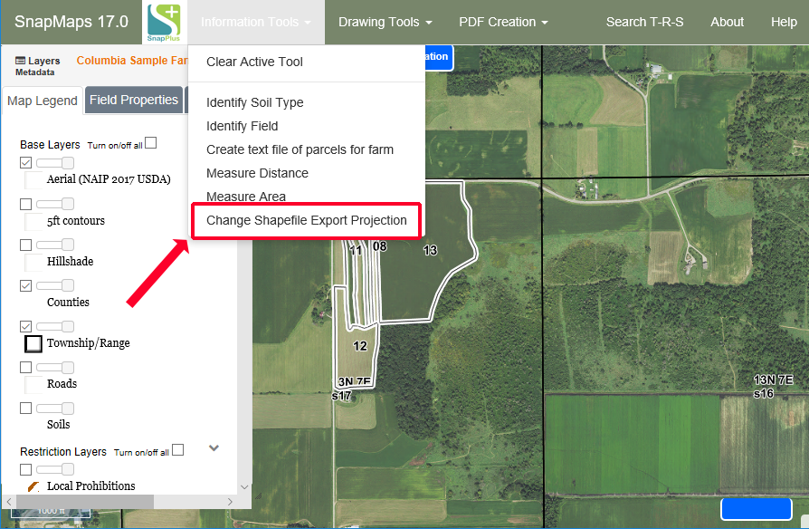
To change the coordinate reference system (commonly referred to as a "projection") of the shapefiles that are exported out of SnapMaps, go to Information Tools - Change Shapefile Export Projection.

A dialog box will appear with options for projections.

Select the desired projection and click "Done". This only has to be selected once; the same one will be used until you change it again.